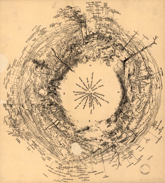
Fisheye view of Chattanooga and vicinity showing troop positions in 1863
- Title: [Fisheye view of Chattanooga and vicinity showing troop positions in 1863]
- Date: 1863
- Description: Panoramic of Chattanooga, apparently from above, showing 360 degree view of landscape that has been labeled with information relevant to the geography and the Civil War troop locations in the area. Image includes vegetation and topography.
- Historical Note: This unusual map appears to have functioned as a diagram for locating and judging the proximity of geographic and man-made features and nearby troops., Digital Initiatives, James E. Walker Library, Middle Tennessee State University
- Contributing Institution: Library of Congress
- Rights: Images reproduced on this website are intended for individual, educational use only. For research inquiries about specific objects or requests for high resolution images, contact the Library of Congress.
- URL: http://cdm15838.contentdm.oclc.org/cdm/landingpage/collection/shades

